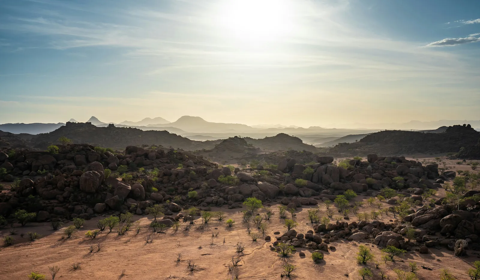
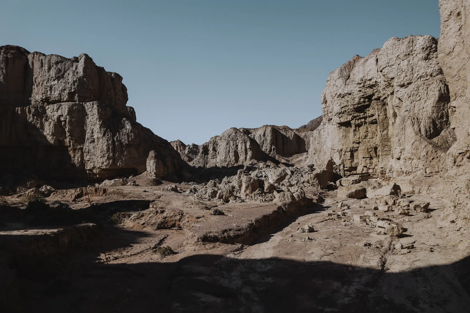
Damaraland is Namibia's great open middle distance: a vast, thinly populated sweep of the Kunene Region between the Skeleton Coast and Etosha, where flat-topped mountains rise out of gravel plains and rivers run dry on the surface while flowing on underneath. It has no single postcard view. Instead it has Twyfelfontein's ancient rock engravings, elephant and black rhino that have learned to live on almost nothing, and communal conservancies that have turned conservation into the region's own livelihood.
"Damaraland" is the old name for this country — today it sits inside the Kunene Region — and travellers still use it for the stretch of desert and mountain running roughly from the Ugab River north to the Hoanib and the edge of Kaokoland. The scenery does the talking: the flat-topped bulk of the Brandberg, Namibia's highest mountain; the free-standing rock pillar of the Vingerklip near Khorixas; and, at Twyfelfontein, one of the densest concentrations of rock art anywhere in Africa.
What makes Damaraland more than scenery is what survives in it. The Palmwag Concession alone covers roughly 550,000 hectares and holds more than 70% of Namibia's free-roaming black rhino, alongside elephant that have adapted to walk vast distances between the region's dry riverbeds. None of it is a fenced reserve — it's communal and conservancy land, run in large part by the people who live there, which is the reason the wildlife is still here to see. A self-drive route through this country needs a proper 4x4 and a slower pace than the tar roads further south; it rewards both.
Damaraland: Namibia's desert wilderness
Damaraland is the historical name for this part of the Kunene Region — a vast, sparsely populated country of gravel plains, dry riverbeds and flat-topped mountains between the Skeleton Coast and Etosha. There's no single town or view that defines it; it's a landscape to drive through slowly, on the way between the coast and the north, with real reasons to stop rather than pass through.
Top things to do in Damaraland
Twyfelfontein's ancient rock art
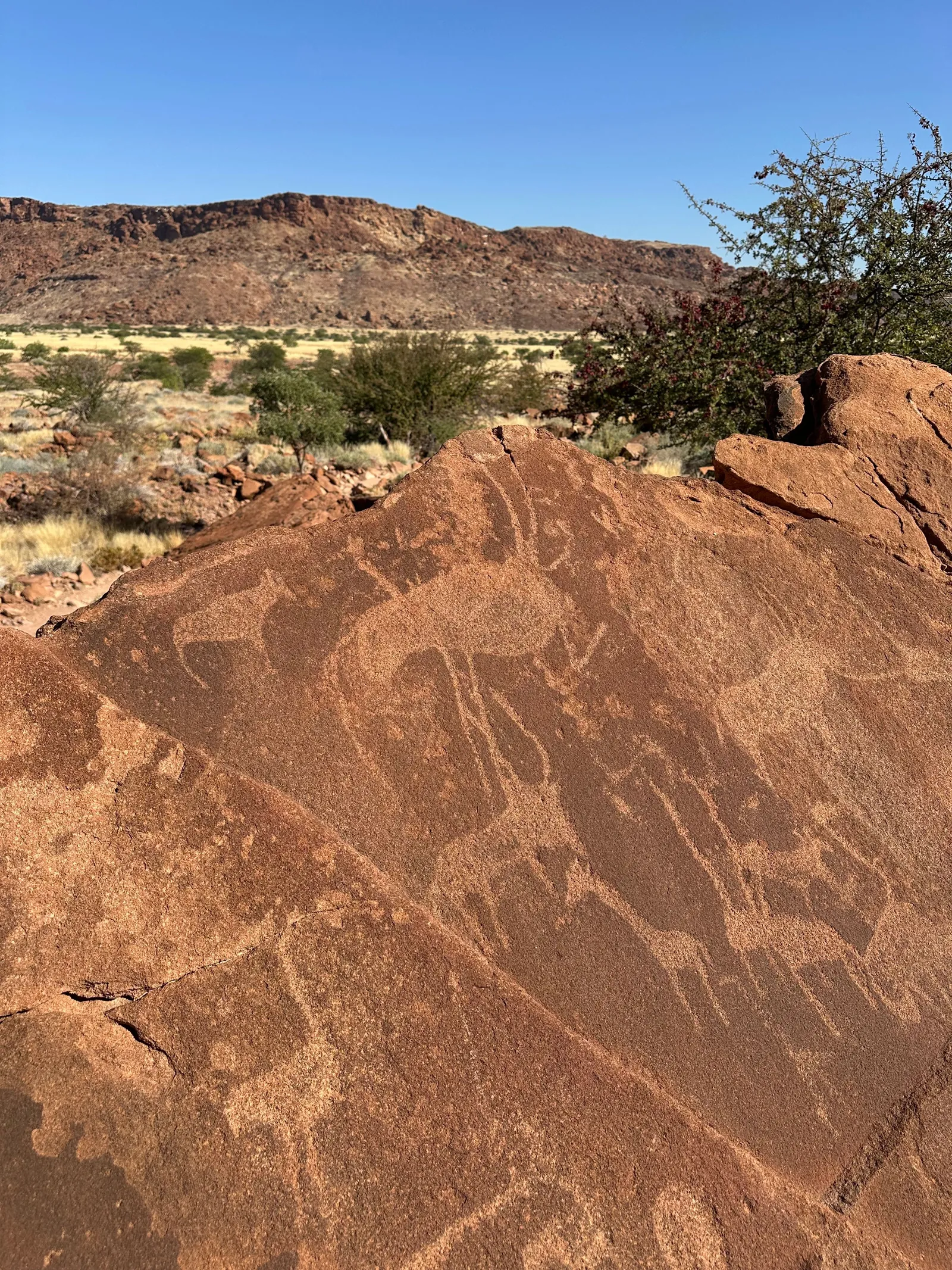
Twyfelfontein, a UNESCO World Heritage Site since 2007, holds more than 5,000 rock engravings pecked into the sandstone by hunter-gatherer ancestors of today's Damara and San people — antelope, rhino, giraffe and human figures, along with geometric designs, created across a span archaeologists put at roughly 1,000 to 6,000 years old. It's one of the largest and most important concentrations of rock art in Africa, and a guided walk with a local guide (compulsory on site) is the only way to see it.
Desert-adapted elephant, black rhino and conservancies
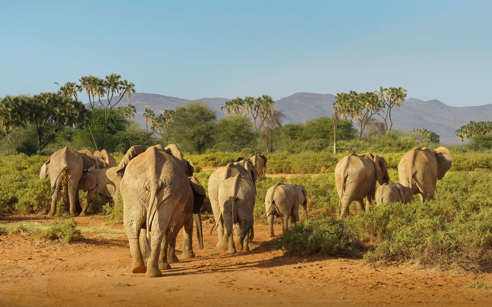
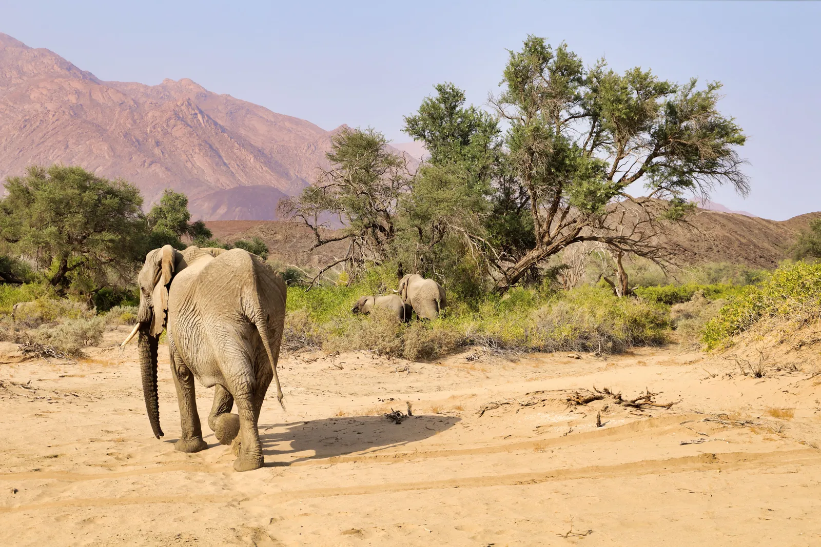
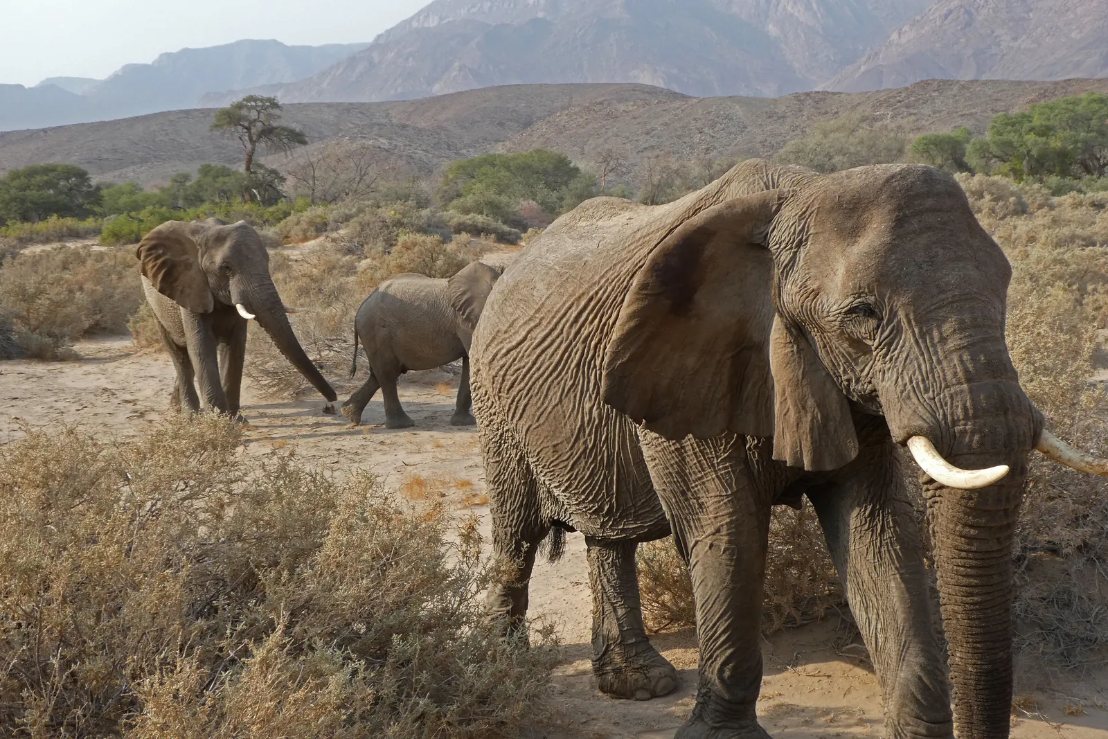
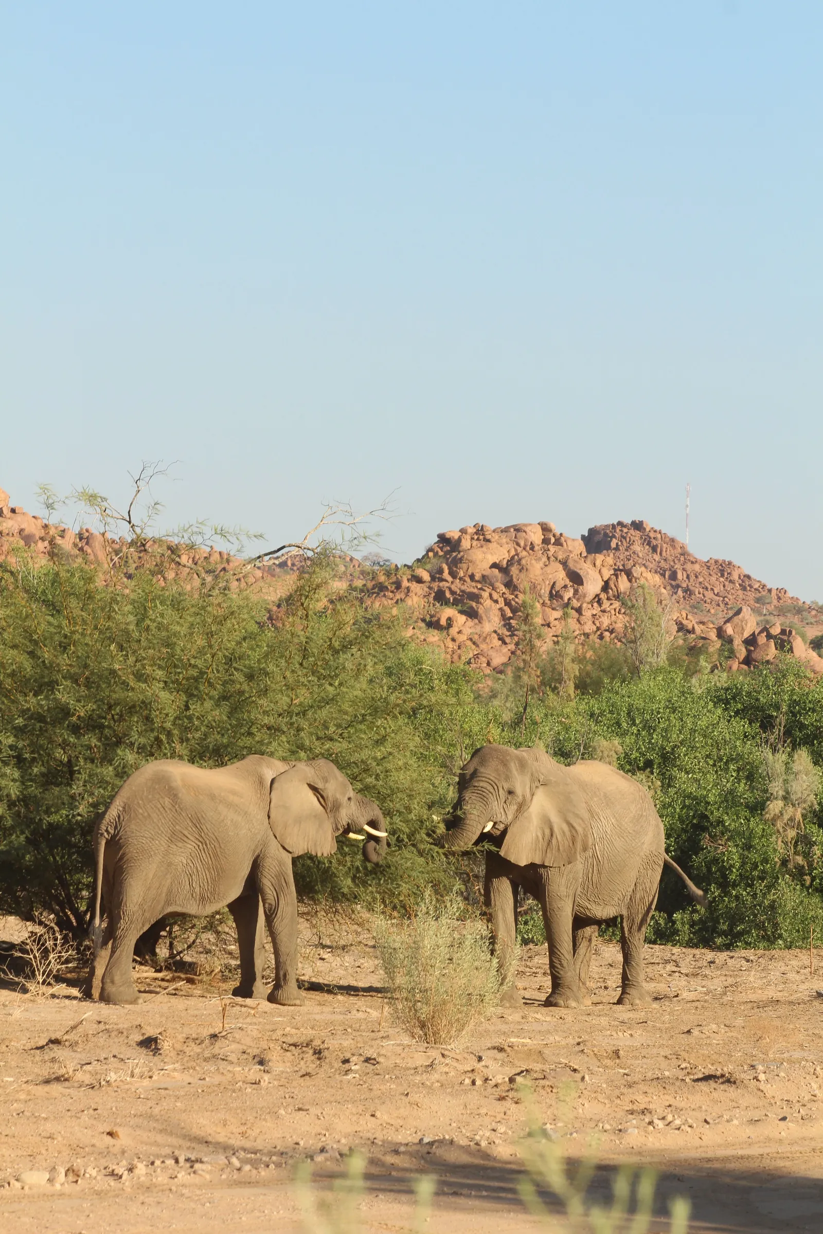
The wildlife here has adapted to genuine scarcity. Desert-adapted elephant move in small family groups along dry riverbeds such as the Uniab, digging for water where none is visible on the surface, and the Palmwag Concession — roughly 550,000 hectares of it — is home to more than 70% of Namibia's free-roaming black rhino. None of this survives by accident: it's the direct result of Namibia's communal conservancy system, under which local communities hold the rights to the wildlife on their own land and the income from tourism and hunting quotas funds its protection. Grootberg Lodge is a working example — it is wholly owned by the ǂKhoadi-//Hôas Conservancy, with a lodge management partner running day-to-day operations on the conservancy's behalf.
Brandberg and Vingerklip
The Brandberg ("Fire Mountain", named for the way its granite glows at sunset) is Namibia's highest mountain, its Königstein peak reaching 2,573 metres. Its slopes hold thousands of rock paintings, the best-known of which is the so-called "White Lady" — named in 1929 by the archaeologist Abbé Henri Breuil, who read it as a Mediterranean or Egyptian woman. That reading hasn't held up: most rock-art scholars today interpret the figure instead as a male shaman or ritual healer, part of a San trance-dance tradition rather than a visiting foreigner. Further east, near Khorixas, the Vingerklip is a roughly 35-metre limestone pillar left standing alone on the valley floor after millions of years of erosion stripped away the plateau that once surrounded it, carved by the ancient course of the Ugab River.
Where to stay and getting there
Damaraland is 4x4 country, not tar-road country — the C39 and C43 gravel roads that link its lodges are well maintained but slow, and the region rewards a proper vehicle and an unhurried pace rather than a rushed pass-through. We base guests at Grootberg Lodge, up on the rim of the Grootberg plateau overlooking the Klip River Valley and owned by the conservancy whose land it stands on — see where to stay below.
In pictures
Where we recommend staying
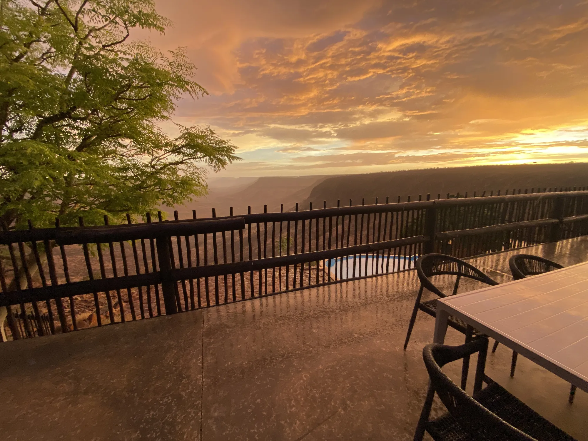
Grootberg Lodge
A Journeys Namibia lodge on the rim of the Grootberg plateau, wholly owned by the ǂKhoadi-//Hôas Conservancy — fourteen double/twin rooms and two family rooms, all looking out over the Klip River Valley. Dinner, bed and breakfast, with half-day desert elephant tracking into the conservancy, a half-day Damara cultural tour, and three-quarter-day black rhino tracking on foot (the lodge asks for a two-night stay for that one).
Build Damaraland into your own route
Open our interactive map to drop Damaraland into a trip, drag your stops into order, pick your travel style and see a live per-person cost estimate — then send the whole plan to us on WhatsApp in one tap.
Open the trip plannerCommon questions
Where is Damaraland?
Damaraland is the historical name for a vast, sparsely populated part of Namibia's Kunene Region, running roughly from the Ugab River north to the Hoanib and the edge of Kaokoland, between the Skeleton Coast and Etosha.
What is Twyfelfontein and why is it famous?
Twyfelfontein is a UNESCO World Heritage Site (since 2007) holding more than 5,000 rock engravings made by hunter-gatherer ancestors of the Damara and San peoples, estimated at roughly 1,000 to 6,000 years old — one of the largest and most significant rock-art sites in Africa.
Can you see elephant in Damaraland?
Yes — Damaraland is known for desert-adapted elephant, which move in small family groups along dry riverbeds such as the Uniab in search of water and vegetation. The neighbouring Palmwag Concession also holds more than 70% of Namibia's free-roaming black rhino.
Where should you stay in Damaraland?
We use Grootberg Lodge, on the rim of the Grootberg plateau overlooking the Klip River Valley and wholly owned by the ǂKhoadi-//Hôas Conservancy — see the stay below.
Do you need a 4x4 for Damaraland?
Yes, or at least a high-clearance vehicle and a slower pace. The roads linking Damaraland's lodges and attractions are well-maintained gravel rather than tar, and a proper 4x4 makes the region's rougher tracks and activities like rhino tracking possible.
What is the White Lady of Brandberg?
It's a rock painting on the Brandberg named in 1929 by the archaeologist Abbé Henri Breuil, who believed it showed a Mediterranean or Egyptian woman. That interpretation is now largely rejected — most scholars today read the figure as a male shaman or ritual healer connected to San trance-dance traditions.